Renewable energy is not a limited energy source like fossil fuels such as coal and petroleum, but an energy source that can be regenerated and reused in nature.
Today, we are promoting the introduction and popularization of power development that uses renewable energies such as “wind power,” “geothermal,” and “solar power.”
SLDI uses “visualization tools” with keywords such as “environmental conservation,” “consideration for scenic landscapes,” and “consensus building with related parties and residents,” which are indispensable factors for the development of renewable energy. With focusing on “proceeding projects smoothly by making full use of visualization tools”, SLDI as a professional consultant of visualization provides various solutions to developers, related companies, related government agencies, and local governments.
Gothermal Energy
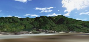
Effective use of the enormous amount of geothermal energy which sleeps deep underground.
Japan has the third largest amount of geothermal resources in the world.
In Japan’s geothermal development projects, most of the resource-impaired areas are located in national and quasi-national parks, and environmental conservation and landscape consideration are required.
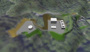
SLDI’s solution can be widely used as the business progresses by making full use of visualization tools such as 3DVR, 3DCG, Civil VFX, and photomontage.
Promotional Video of Geothermal Development Support Application “G”
Wind-Power Generation
Turn the power of the wind into electricity.
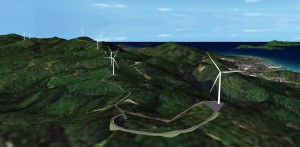
Wind power generation is one of the renewable energies. Since Japan’s wind power generation business are being operated under harsh weather conditions such as typhoons and heavy snowfall in such a small land area which means wind power plants can be close to the residential area, it is necessary to consider the landscape.
SLDI’s solution can be widely used as the business progresses by making full use of visualization tools such as 3DVR, 3DCG, match move, and photomontage.
Wind power 3D VR video
Solar power
Solar power generation is infinite blessings from nature.
Japan, along with Germany, is one of the world’s leading advanced solar power generation countries.
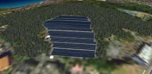
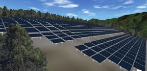
Photovoltaic power generation, which has the largest number of renewable energy projects in Japan, requires a large site area when installing panels in nature, and it is necessary to consider the scenic landscape and environment of the area.
SLDI’s solution can be widely used as the business progresses by making full use of visualization tools such as 3DVR, 3DCG, Civil VFX, and photomontage.
Photovoltaic 3D VR video
SLDI’s Technologies that Supports the BIM / CIM Solution
-
BIM / CIM (Constriction Information Modeling/Management)

BIM / CIM is a tool that strongly backs up the communication and understanding of the project at each stage from the concept building to actual planning among all the members involved in your project. The Ministry of Land, Infrastructure, Transport and Tourism of Japan also strongly advocates the use of BIM / CIM.
Learn more about BIM / CIM -
Geothermal Development Support – App G

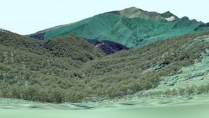
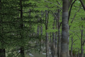
When a bridge is planned to be built in a rural area rather than in a city, it is necessary to accurately create images of the vegetation near the bridge at the each stage of survey, landscape examination, construction simulation, briefing to local residents, etc. By using Geothermal Development Support App – G, which allows you to map vegetations according to the existing vegetation map of the Ministry of the Environment of Japan, you can simulate the landscape with from each viewpoint or lookout point while checking plant community.
Learn more about App G -
3DVRCG Data

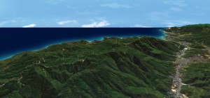
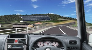
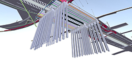
3D data is the core of CIM data. This technology allows you to freely move in the VR space by real-time operation to see bridges, buildings, and structures from any angles you like.
Learn more about 3D VRCG Data -
3DVRCG Visualized Data

This technology expresses 2D (= plane) in 3D (= 3D), such as checking each stage of construction while superimposing drawings. Visualization will be greatly improved by shifting from 2D to 3D.
Learn more about 3D Visualized Data -
Civil VFX

This is a video composition technology used in Hollywood movies. By partially synthesizing 3DCG based on the live-action movie you shot, you can create a CG movie with a rich sense of reality. It can be used for traffic signs and road mapping studies, structure landscape studies, construction procedure videos, landscape design studies, business promotions, variety of promotion movies, etc.
Learn more about Civil VFX -
Photomontage

This is a technology to create image by combines photographs or CG images as a partial element. In the construction industry, photomontage generally refers to a future image that combines a building with a photograph of current scenery. It is effective for briefing project to local residents because it is overwhelmingly persuasive when comparing the situation before and after construction, such as “How will the landscape change when the bridge is completed?”
Learn more about Photomontage
